Posted on Tue 15 Apr 2014
HighWaterLine Bristol Lunchtime Talk Write-up
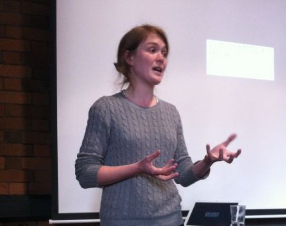
Last Friday, we were joined by Isobel Tarr, who is working with Invisible Dust to bring community project, HighWaterLine to Bristol this July. Using a football pitch marker, heaps of chalk, and a lot of help from people who live in affected areas, the project promotes awareness and discussion of…
Isobel
Last Friday, we were joined by Isobel Tarr, who is working with Invisible Dust to bring community project, HighWaterLine to Bristol this July. Using a football pitch marker, heaps of chalk, and a lot of help from people who live in affected areas, the project promotes awareness and discussion of local climate change impact. Isobel spoke to us about how the project came to be, why it works, and what we can expect from its visitation this summer. Read on to find out more...
HighWaterLine first emerged as a public artwork in 2007, when artist Eve Mosher took to the streets of New York, marking out a line, which represented where the water would reach if sea level rose by 10 feet. She drew this line around 70 miles of coastline in the city in thick chalk, with a football pitch marker. While marking out the line, Eve had lots of interesting conversations with locals who were curious about what it all stood for. These conversations became crucial to the project. Since then, HighWaterLine has become more community orientated. Eve began collaborating with Heidi Quante to develop the project into something more community lead, and they took it to Miami in 2013, to be planned and performed by the communities in the affected areas on 13th and 14th November.
Isobel took us through a few reasons why the project works so well. This project allows people to see a visual representation of change in their own community, which is much more affective than seeing a graph or a map on a computer screen. This bold chalk line is drawn outside peoples’ houses and on the streets that they walk down every day, which means a visual memory of the line often stays with them, and changes their relationship with the issue. One design consideration is that the line-drawer has to heave a huge trolley of chalk alongside the marker, and stop to fill the marker up regularly, which is cumbersome, but creates a spectacle and an opportunity for people to approach and ask questions.
One of the main reasons why Isobel feels the project makes such an impact, is that all of the conversations that take place during the line-drawing, happen on the locals’ own terms. People watching the line being drawn actively approach to the person drawing it, and ask their own questions, out of genuine curiosity, like ‘what are you doing’, and ‘is that going to happen?’ sometimes leading to ‘what can I do?’. Allowing people who live and work in affected areas to push the chalk marker and explain what they are doing to the local community lets people learn from those with whom they identify, and allows locals to hold the discussion of what to do next in their own hands.
When the project took place in Miami in 2013, local communities came together to plan the line drawing. People from disparate communities came together to organise the project, and during planning, started listening to each others’ stories. The whole process was so involving and participatory, that certain locals invested the project with their own meaning, and created a group called Resilient Miami, who are continuing to forge relationships between the diverse communities of Miami to create an autonomous support system in the event of flooding. The hash tag #RiseUpMiami is also being used as a platform for discussion surrounding these issues.
Heidi Quante and Isobel had their first conversation about HighWaterLine the night of the Hurricane Sandy Warning. When Hurricane Sandy hit, flooding a lot of the areas that Eve had marked out along the New York coastline in 2007, it became clear to everyone involved that HighWaterLine needed to continue as a project, touring other places most at risk from flooding or sea-level rise. Isobel is bringing HighWaterLine to Bristol, and visiting flood risk areas in places like Ashton Vale, Southville, Ashton Gate and St. Phillips Marsh. She will be working with communities to mark out the areas at risk. In co-designing the project, the communities will choose which data set to use to draw the line, and therefore choose which stories to tell. Outcomes of the project will be compiled into an interactive map, where you will be able to listen to locals’ stories and read tweets. Isobel and the HighWaterLine team are also in the process of creating an open source guide, so that other cities around the world can stage the project for themselves.